

Windy Stretch:
Thursday featured a rather strong westerly wind which made for a bitterly cold end to the month of November. With winds gusting between 30-40 mph for a majority of the day, highs peaked in the mid to upper 20s range. Although winds across the area significantly trended downward overnight, there will be just enough of a wind present to make for a bitterly cold start to our Thursday.
Before heading out, make sure to have as many layers on as possible so that you have no issues with the cold this morning. Temperatures under a mostly clear sky have fallen into the teens, with wind chill values registering in the single-digits.
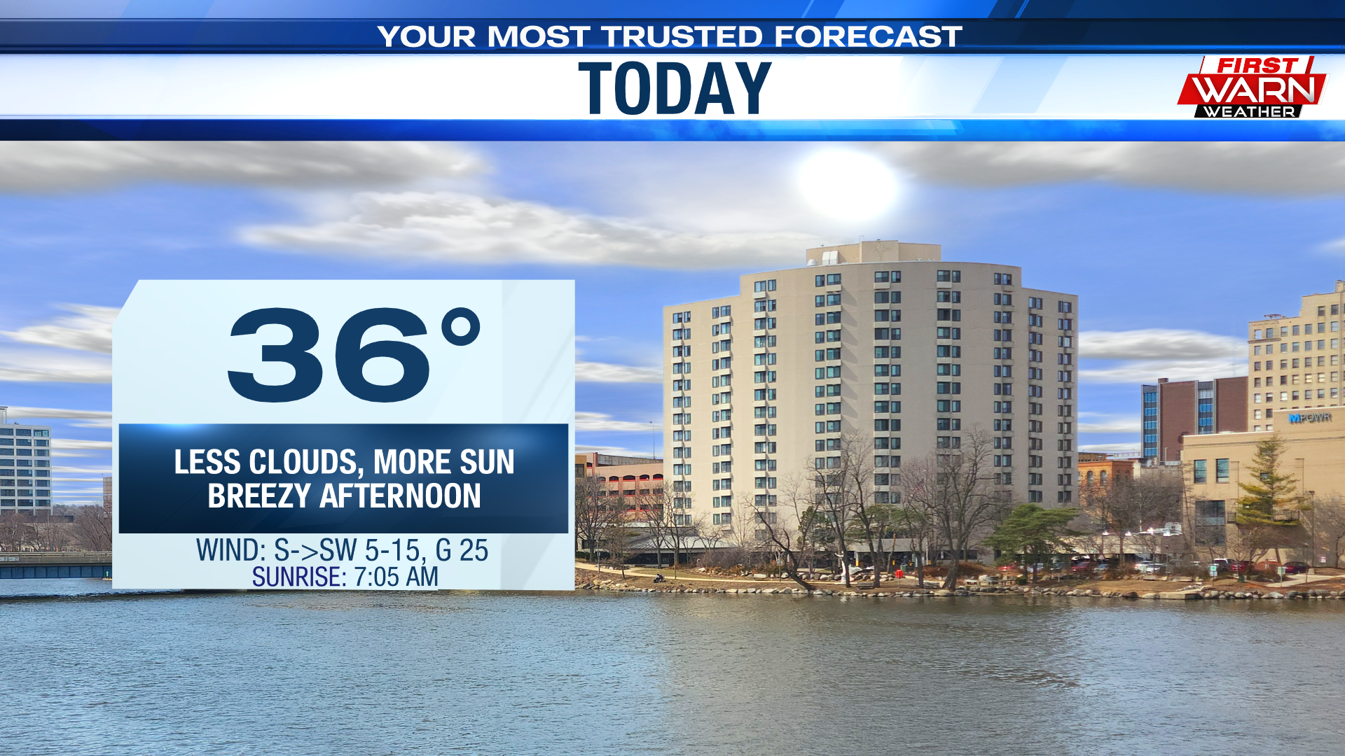
An area of high pressure over the central plains is expected to slide to our east-southeast by the time were jumping into the afternoon. This will help shift our winds from the west to the south-southwest, resulting in a slight improvement in the temperature department. Under a good amount of sunshine, expect high temperatures to climb into the mid to upper 30s. While skies remain rather clear into the first half of the night,guidance does show clouds gathering up closer to sunrise Friday.

Gusty winds are set to return Friday as we await the arrival of our next cold front. Thankfully, this means they will remain out of a warmer direction, helping highs get back towards that 50° mark. Clouds will continue to thicken up, which may result in the potential for a stray shower or two during the afternoon and evening.
Forecast models then bring in said cold front Friday night into Saturday morning, with our next cold snap quick to follow. In a similar fashion to yesterday, a rather strong northwesterly wind will severely restrict afternoon temperatures to the upper 20s. Of course, wind chills will registering in the teens for most of the day. Saturday also features a mostly cloudy to overcast sky as well as the chance for a few passing flurries. Improvements arrive Sunday with highs in the upper 30s.
No comments:
Post a Comment