
 Quite a bit of rain has fallen across the Stateline over the weekend and into this morning as a powerful system tracks from the southern plains, through Missouri and Iowa, and into central Wisconsin. Rain totals from the past 36 hours show rain amounts over 2 inches in Galena and Monroe, over an inch and a half in Rockford, and around that in DeKalb.
As the system continues to push northeast, dry air is now wrapping in around - and into northern Illinois, this is helping to bring most of the lingering rain to an end, as the main band of rain (frontal bands) arc and push north into northern Wisconsin and east into Ohio. Though the bulk of the rain is done, though a few light showers and drizzle will persist into midday.
Because of abnormally high moisture values for this time of year, saturated soil, and already high levels in rivers (because of previous rain falls), there are some local rivers that have Flood Warnings, and Adivsories.
Here are some of the local rivers with Flood Warnings:
As of 9:30am Monday the river level of the Rock River at Como was at 7.3 feet, and rising. The warning will go through Friday as levels are expected to rise to 10.6 feet. The flood stage is 10 feet. The river is forecasted to fall below flood stage by Friday.
As of 7:30am Monday the river level of the Kishwaukee River near Perryville was at 8.9 feet, and rising. The warning will go through Wednesday afternoon, as levels are expected to rise to 12.5 feet. The flood stage is 12 feet. The river is forecasted to fall below flood stage by late Wednesday morning. This could cause some flooding to Cherry Valley city park.
As of 8:00 am Monday the river level of the Pecatonica River near Shirland was at 12.0 feet, and rising. The warning will go from Wednesday afternoon through Saturday night, as levels are expected to rise to 12.6 feet by Thursday afternoon. The flood stage is 12 feet. The river is forecasted to fall below flood stage by late Saturday evening. At 12ft the water overflows low lying areas near the river.
As of 3:00 am Monday the river level of the Sugar River near Brodhead was at 2.4 feet, and rising. Levels are expected to rise to 5.8 feet by Tuesday evening, and will fall below flood stage by early Thursday morning. The flood stage is 5 feet. At 6 feet, some roads are flooded about 6 miles downstream in Avon Township of Rock County, also near Sugar River Park.
There is also a flood advisory for the Rock River at Byron. As of 8:15 this morning, the river was at 9.7 feet. The action stage is 10.5 feet and flood stage is 13 feet. The river is forecasted to rise to near 11.9 feet b early Wednesday morning.
Event rain totals:
Morrison(Whiteside) ........ 2.55"
4MI ENE Freeport(Stephenson) ........ 2.05"
SSE Shannon( Carroll) ........ 2.11"
2 SSE Schapville ( Jo Daviess) ........ 2.09"
NW Erie (Whiteside) ........ 1.80"
6MI SSE Elmoville ( Carroll) ........ 1.95"
Galena ( Jo Daviess ) ........2.00"
3MI NNE Stockton (Jo Daviess) ........ 2.00"
Brodheadd (Green) ....... 1.75"
Clinton ( Rock) ........ 1.70"
Beloit ( Rock) ........ 1.60"
Afton ( Rock) ........ 1.66"
Local Observers:
2.06" Pearl City
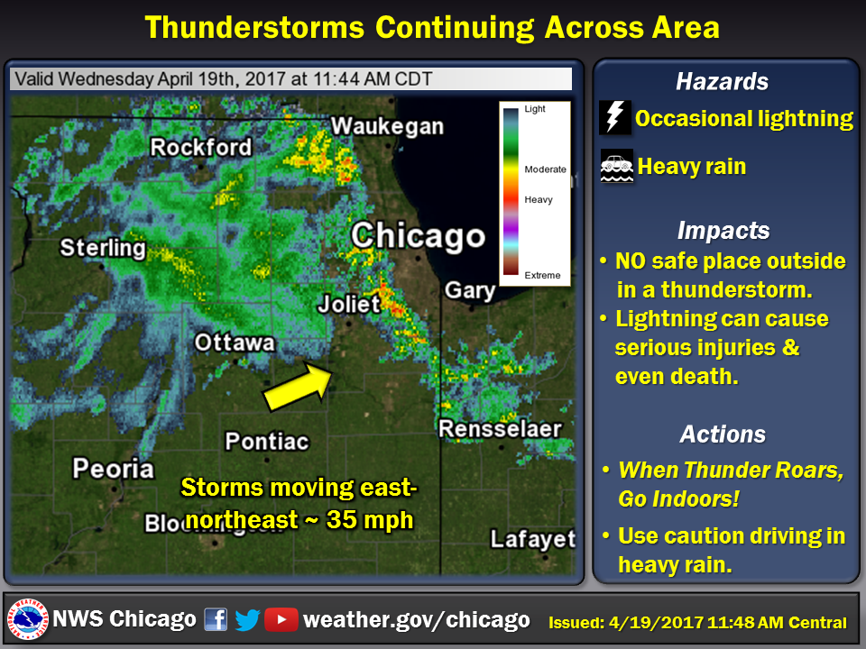
*Graphic from NWS Chicago
No comments:
Post a Comment